
Earl Cook Recreation Area
Campground · Fee not listed
Fast facts
- Cost
- Not listed. Check locally.
- Type
- Campground
- Phone
- 706-645-2937
- Coordinates
- 32.9889, -85.1674
- Last verified
- September 19, 2026


About this place
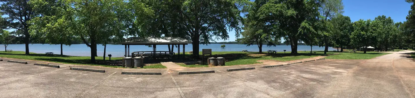
Overview Earl Cook Recreation Area offers a wide variety of recreational activities. Boat launching facilities are available all year. Seasonally, the swim beach, two picnic pavilions, ball fields, and a playground are open to the public. With a wide variety of activities and easy access from Interstate 85, Earl Cook is becoming a very popular day-use destination. Charges & Cancellations Cancellations must be made 14 days prior to the reservation date in order to receive a refund. No refunds will be issued after the date of the reservation. Reservations will not be refunded due to weather related issues.
From the managing agency.
Is Earl Cook Recreation Area free?
We do not have a fee on record for Earl Cook Recreation Area. Confirm the cost locally before you go.
How do I get to Earl Cook Recreation Area?
Earl Cook Recreation Area is at 32.9889, -85.1674. We do not hold written directions for this one, so navigate to the coordinates.
Nearby
- Glass Bridge Park1.0 mi
- Rocky Point Recreation Area2.4 mi
- Long Cane Recreation Area2.4 mi
- Holiday (Georgia)2.7 mi
- WHITETAIL RIDGE2.7 mi
- Horace King Park3.1 mi
- AMITY3.4 mi
- Veasey Creek Park4.0 mi
No other services within 50 mi on the record.
SourceSource data is agency published. Last synced September 19, 2026. Community reports and photos are submitted by travelers and are not verified by the agency.
