
Eagleview Park
Campground · Fee
Fast facts
- Cost
- Fee charged
- Type
- Campground
- Phone
- 706-645-2937
- Coordinates
- 32.9162, -85.1797
- Last verified
- September 19, 2026
About this place
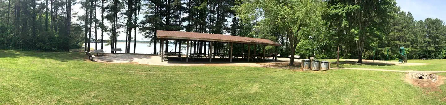
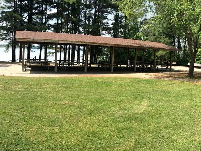
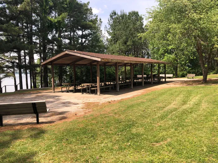
Overview Eagleview Park offers wonderful views of the West Point Dam and Lake at the southernmost portion of the reservoir. Fishing and picnicking are two of the most popular activities at this park. A pavilion is available for reservations for larger groups. Eagleview Park offers easy trail access to mountain bikers and hikers Facilities Eagleview Group Shelter offers water, electricity, restrooms, and a playground Nearby Attractions Charges & Cancellations Cancellations must be made 14 days prior to the reservation date in order to receive a refund. No refunds will be issued after the date of the reservation. Reservations will not be refunded due to weather related issues.
From the managing agency.
Is Eagleview Park free?
No. Eagleview Park charges a fee.
How do I get to Eagleview Park?
Eagleview Park is at 32.9162, -85.1797. We do not hold written directions for this one, so navigate to the coordinates.
Nearby
- Hardley Creek Park0.8 mi
- R Shaefer Heard Day Use1.2 mi
- R SHAEFER HEARD1.2 mi
- Anderson Park1.9 mi
- AMITY4.5 mi
- Earl Cook Recreation Area5.1 mi
- Rocky Point Recreation Area5.4 mi
- Long Cane Recreation Area5.6 mi
No other services within 50 mi on the record.
SourceSource data is agency published. Last synced September 19, 2026. Community reports and photos are submitted by travelers and are not verified by the agency.
