
DEERLICK CREEK
Campground · Fee not listed
Fast facts
- Cost
- Not listed. Check locally.
- Type
- Campground
- Phone
- 205-759-1591
- Coordinates
- 33.2594, -87.4303
- Last verified
- September 19, 2026



About this place
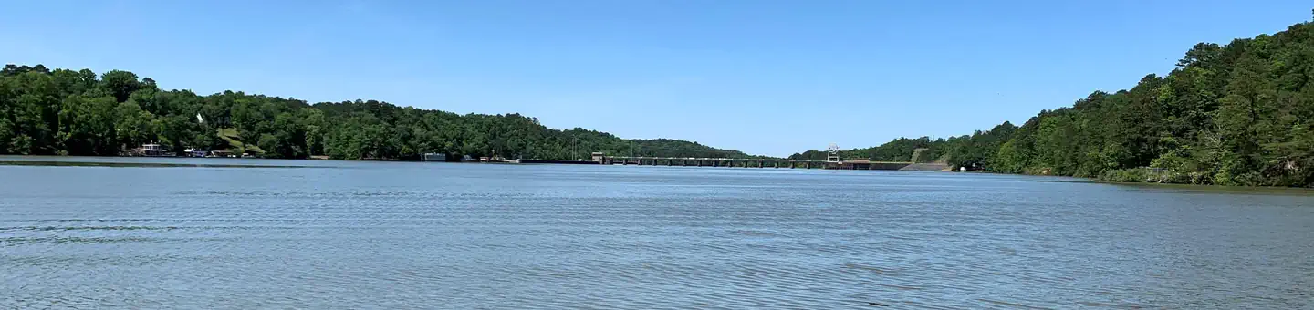
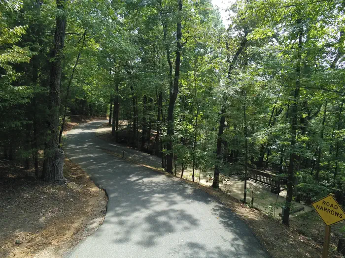
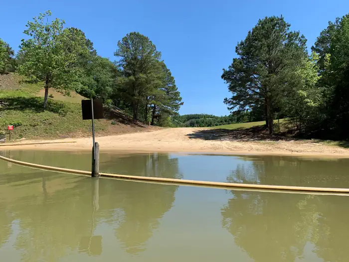
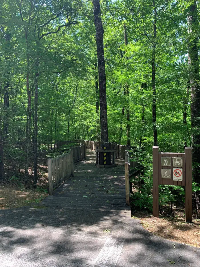
Overview Deerlick Creek Campground is located on Holt Lake on the Black Warrior-Tombigbee Waterway northeast of Tuscaloosa, Alabama. The facility is in a beautiful forest along the shoreline, providing campers and day-use visitors with access to water sports, boating, fishing, swimming, hiking and biking. Recreation Campers can explore the lakeshore using the campground's hiking trails as well as a paved bicycle trail. The waterway is popular for fishing for bass, crappie, bream, catfish and more. Facilities Deerlick Creek has 46 campsites with water and electric hookups, six of which are designated tent only. There is also one group picnic shelter that can be reserved for day use. Families with children have the convenience of showers, a multi-use court and swimming beach. Natural Features Holt Lake was created by the damming of the Black Warrior River. The campground is situated amidst a mixed pine and hardwood forest, which displays colorful foliage along the riverbanks each fall. Deer, squirrel, wild turkey, migratory birds and blue birds, all live in the Holt Lake area. The Black Warrior-Tombigbee Waterway consists of six lakes with a total length of 457 miles and 39,800 surface acres of water. Temperatures range from the 80s to 90s from April through September, and annual rainfall averages about 60 inches. Nearby Attractions Deerlick Creek is 17 miles from the University of Alabama where you can find sporting events, museums, and other attractions. Deerlick Creek is also located 13 miles from Ol' Colony Golf Course home to the University of Alabama golf teams as well as a disc golf course. Contact Info For facility specific information, please call (205) 388-1111.
From the managing agency.
Is DEERLICK CREEK free?
We do not have a fee on record for DEERLICK CREEK. Confirm the cost locally before you go.
How do I get to DEERLICK CREEK?
DEERLICK CREEK is at 33.2594, -87.4303. We do not hold written directions for this one, so navigate to the coordinates.
Nearby
- Rocky Branch Day Use Park1.4 mi
- BURCHFIELD BRANCH PARK12.9 mi
- Payne Lake Recreation Area26.1 mi
- Lock 832.3 mi
- Finches Ferry37.1 mi
- JENNINGS FERRY38.2 mi
- Lock 643.3 mi
- PICKENSVILLE CG (PICKENSVILLE AL)49.1 mi
No other services within 50 mi on the record.
SourceSource data is agency published. Last synced September 19, 2026. Community reports and photos are submitted by travelers and are not verified by the agency.
