
White Mountains National Recreation Area - Alaska Cabins
Campground · Fee not listed
Fast facts
- Cost
- Not listed. Check locally.
- Type
- Campground
- Phone
- (907)-474-2200
- Coordinates
- 65.4275, -147.2434
- Last verified
- September 19, 2026
About this place
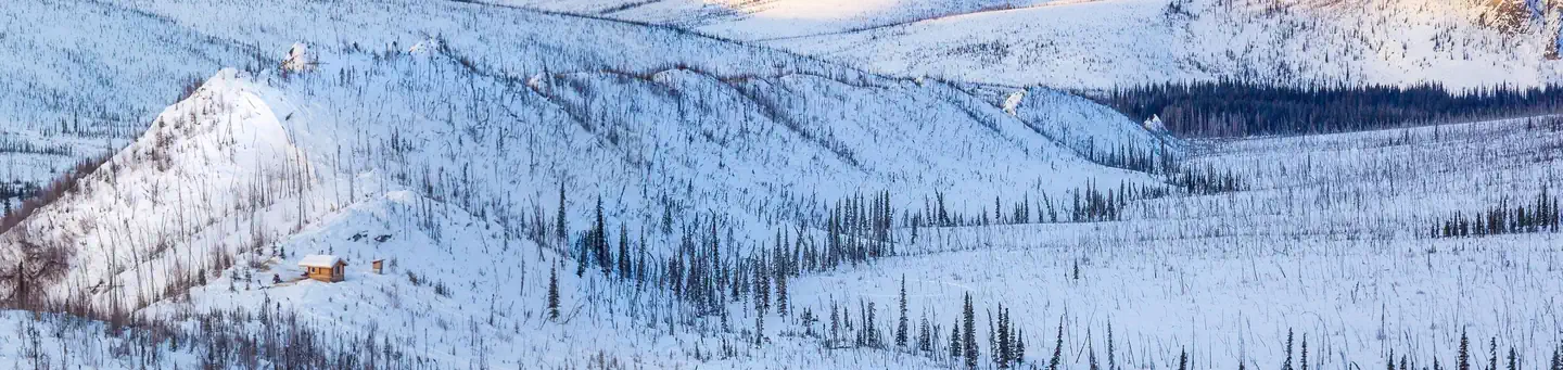
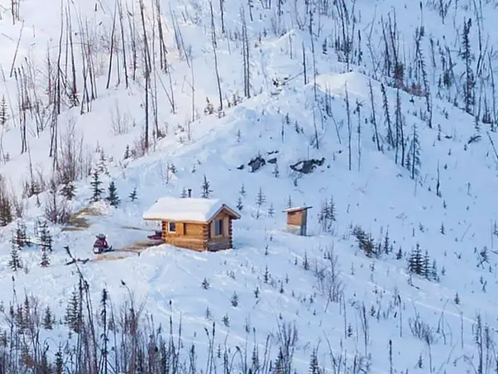
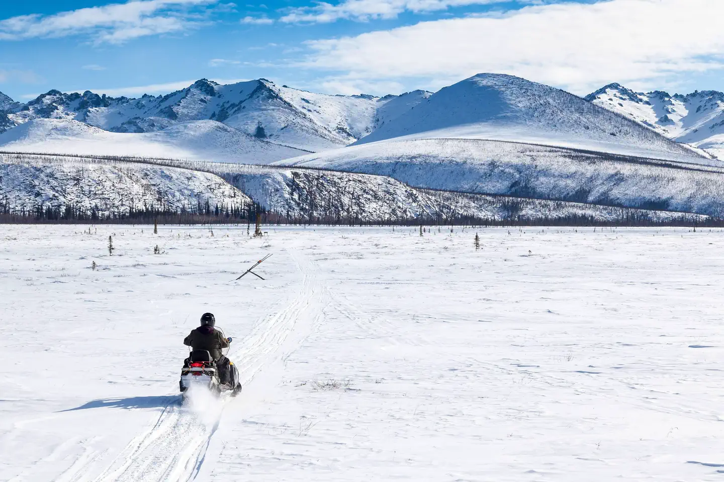
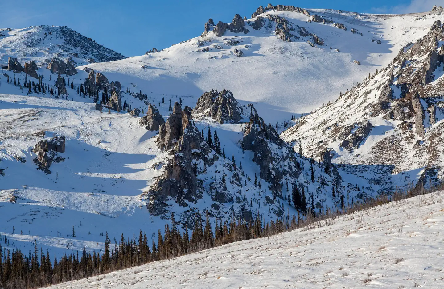
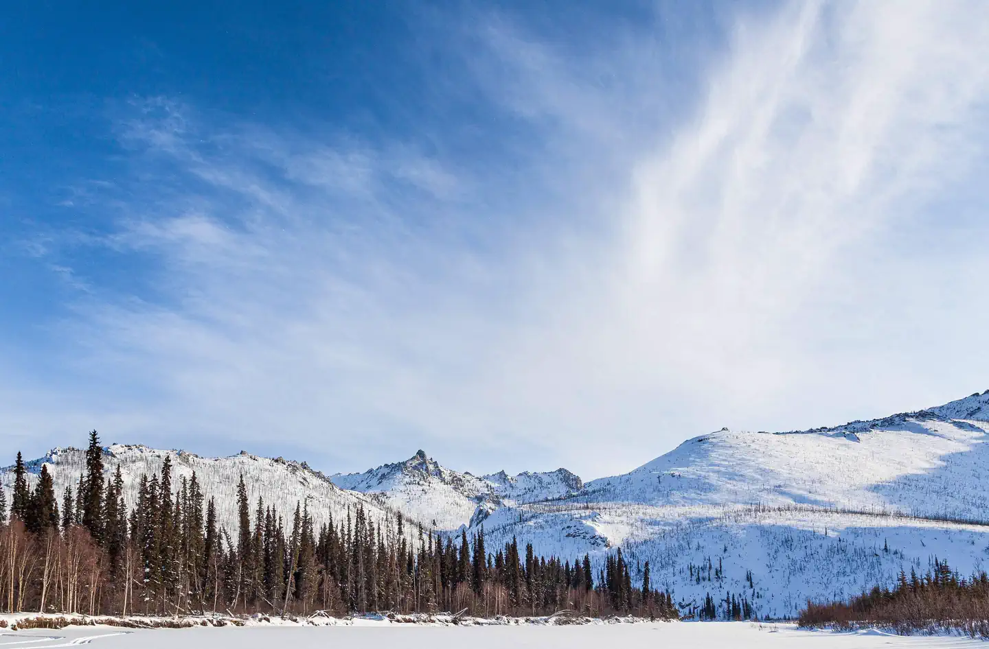
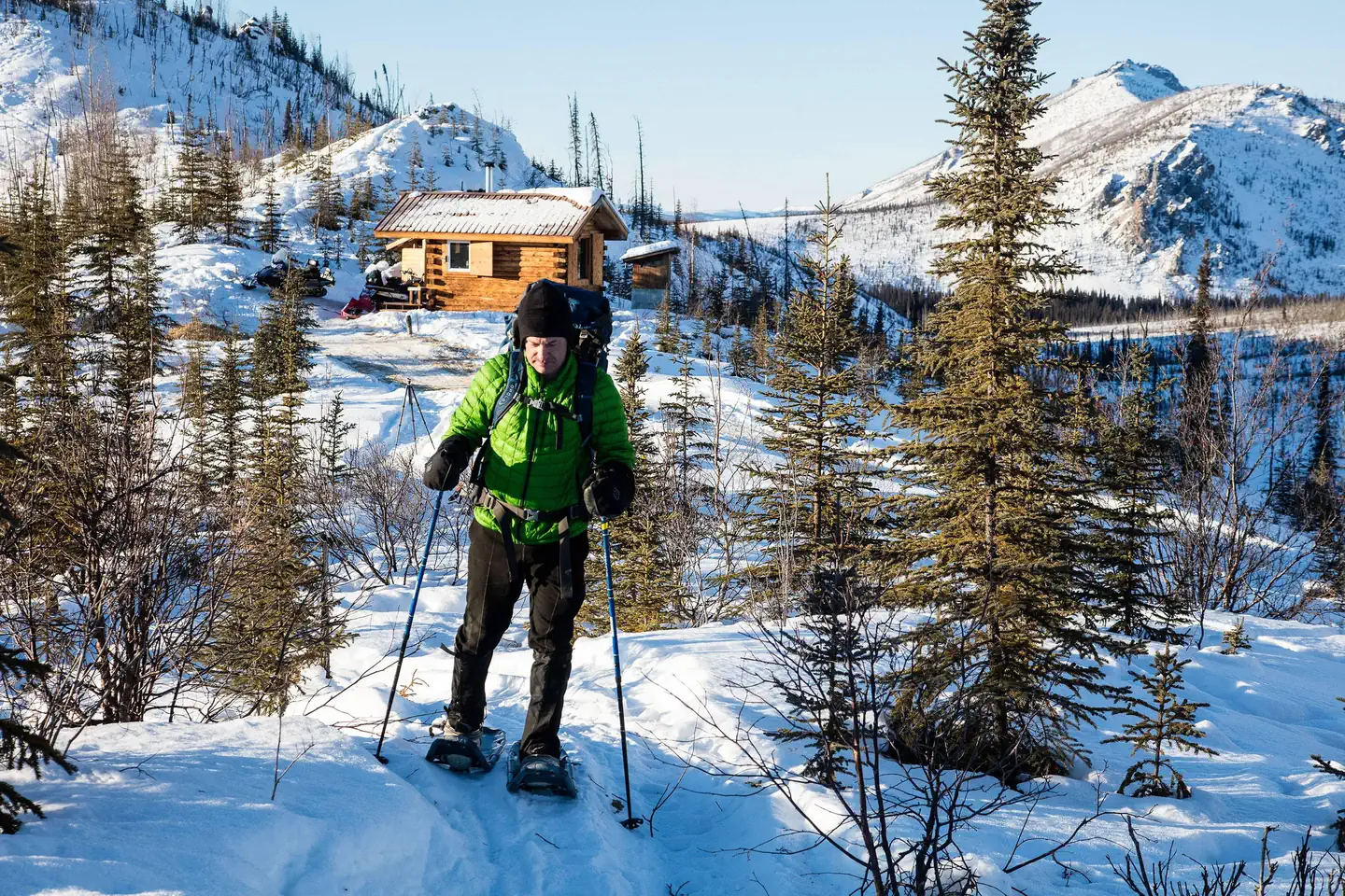
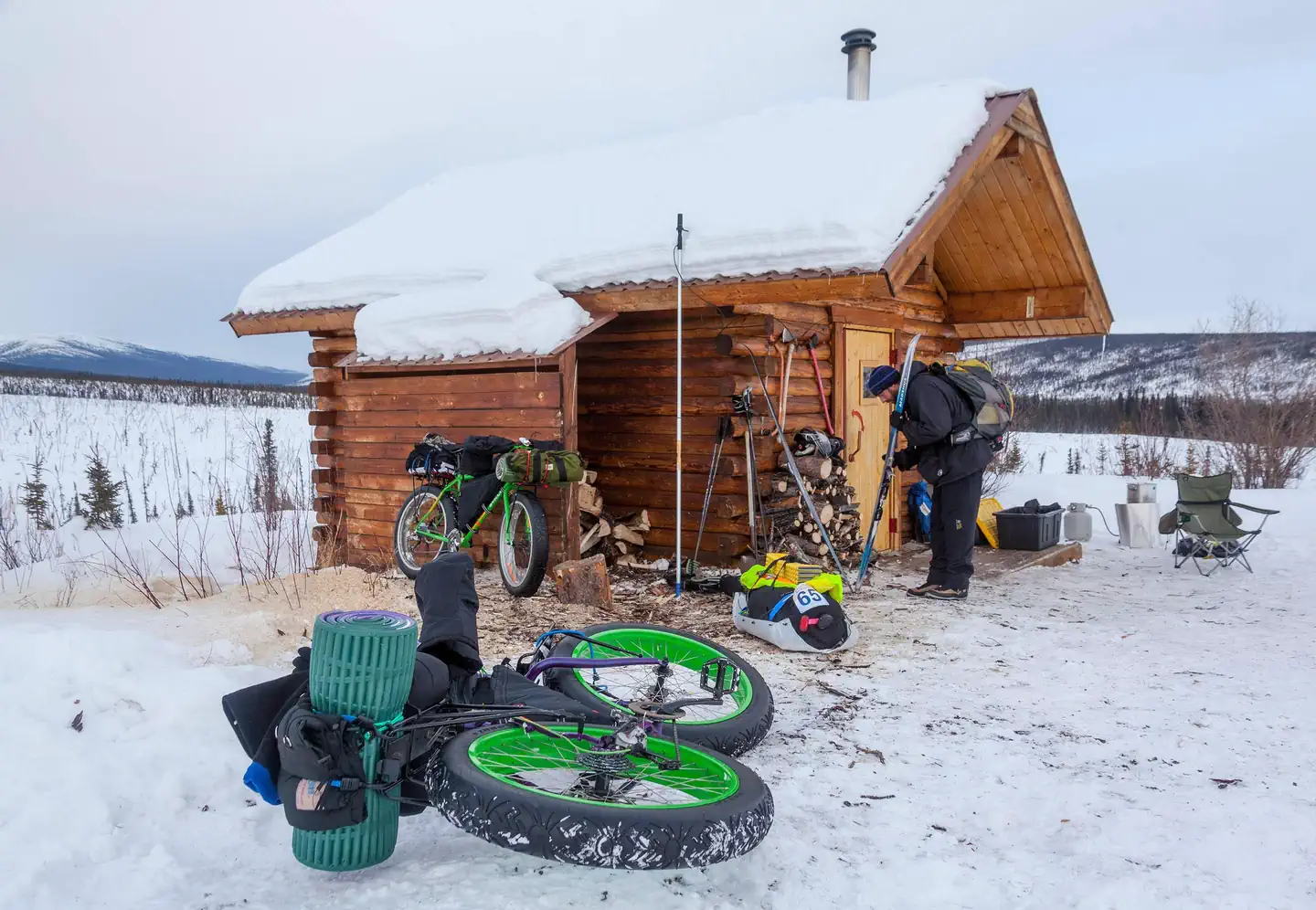
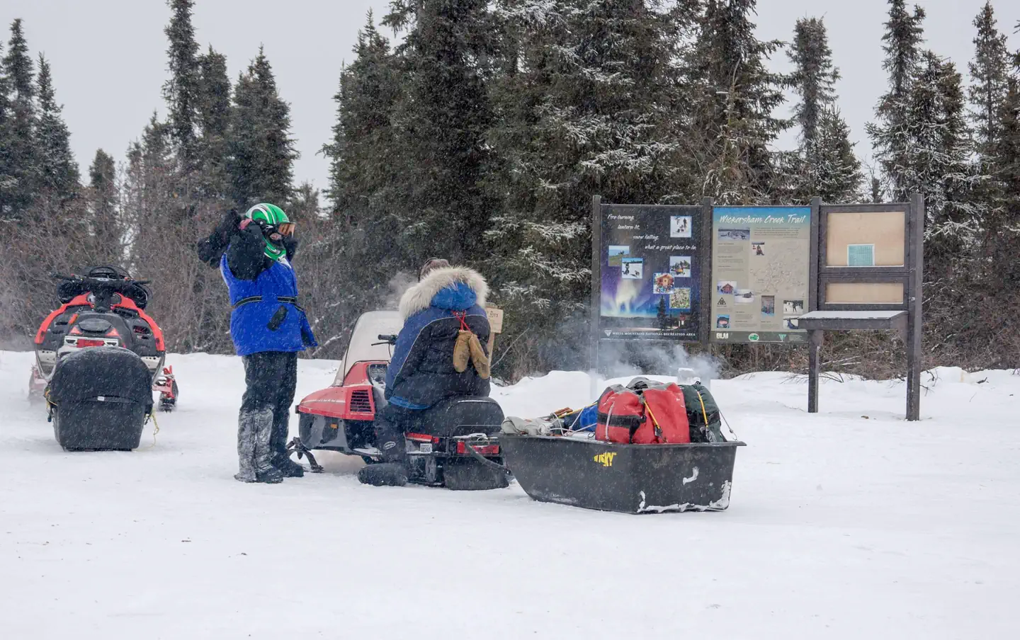
Overview Located just an hour's drive from Fairbanks, Alaska, the one-million-acre White Mountains National Recreation Area offers stunning scenery, peaceful solitude and outstanding opportunities for year-round recreation including hiking, snowmobiling, snowshoeing, skiing, wildlife and scenic viewing. There are 13 beautiful log cabins throughout the White Mountains offering many opportunities to enjoy the outdoors. Be sure to carry your cabin permit at all times while in the White Mountains National Recreation Area. Also located in the White Mountains National Recreation Area are two trail shelters that are available on a first-come, first-served basis only. Recreation Winter visitors travel by ski, snowshoe, dog team, fat bike and snowmobile to enjoy the 12 public-use cabins and 250 miles of maintained trails that make the White Mountains one of Interior Alaska's premier winter destinations. The cabins must be reserved up to 30 days in advance. There are two trail shelters that are on a first come-first served basis, are free of charge and not reservable. In Summer, visitors to the White Mountains pan for gold, fish, hike and camp under Alaska's midnight sun. The Nome Creek Road provides access to two campgrounds, trails, a gold-panning area and a departure point for float trips on Beaver Creek Wild and Scenic River. Learn more about current trail conditions or call the Fairbanks District Office at (907) 474-2200. For a winter trails condition report, go to the Trail Update Facilities The White Mountains National Recreation Area offers 250 miles of maintained winter trails and 13 public recreation cabins and two trail shelters surrounded by jagged limestone mountains and cliffs, high mountain passes, and broad, rounded valleys. Whether you choose to explore by ski, snowshoe, snowmobile, or dog team, you'll find crisp, clean air, dazzling views, and if you're lucky, shimmering northern lights against a star-studded sky. Many of the trails used for winter travel may be difficult to travel during the summer due to wet, muddy conditions or difficult water crossings. To protect sensitive resources, vehicles must remain on BLM routes designated for their use unless traveling in an area designated open to cross-country motorized travel. The entire area is open to all forms of non-motorized use, so feel free to explore off-trail. The most popular places to ride OHVs are in the Nome Creek tailings and the Quartz Creek Trail. Most of the cabins become difficult to reach in the summer, but a few are regularly used such as Fred Blixt Cabin and Lee’s Cabin . Three campgrounds are open from late-May until the snow flies in October Note : Not all trails are accessible to ATV's in the summer. Please contact the BLM Fairbanks District Office for further information at (907)474-2200 Note: Not all trails are suitable for hiking in the summer. They may be wet and boggy. Check with the Fairbanks District Office for more information. Note: All lands to the north of the Nome Creek Rd. from the Bear Creek Trail, west to Ophir Creek Campground and the Beaver Creek Put-In are closed to the use of motorized vehicles in the summer from May 1 - October 14 or until there is adequate snow cover for use by snowmobiles. Nome Creek Valley Map Winter Trails Map Summer OHV fact sheet Summer Recreation Map (Georeferenced PDF) Nearby Attractions The cabins are surrounded by vast amounts of land you can venture on to and view the scenery around the area.
From the managing agency.
Is this site free?
We do not have a fee on record for this site. Confirm the cost locally before you go.
How do I get to this site?
this site is at 65.4275, -147.2434. We do not hold written directions for this one, so navigate to the coordinates.
Nearby
- Ophir Creek Campground6.1 mi
- Ophir Creek Campground6.1 mi
- Mount Prindle Campground19.2 mi
- Mount Prindle Campground19.2 mi
- Cripple Creek Campground20.2 mi
- Cripple Creek Campground20.2 mi
No other services within 50 mi on the record.
SourceSource data is agency published. Last synced September 19, 2026. Community reports and photos are submitted by travelers and are not verified by the agency.
