
TRAIL RIVER
Campground · Fee not listed
Fast facts
- Cost
- Not listed. Check locally.
- Type
- Campground
- Coordinates
- 60.4161, -149.3814
- Last verified
- September 19, 2026
About this place
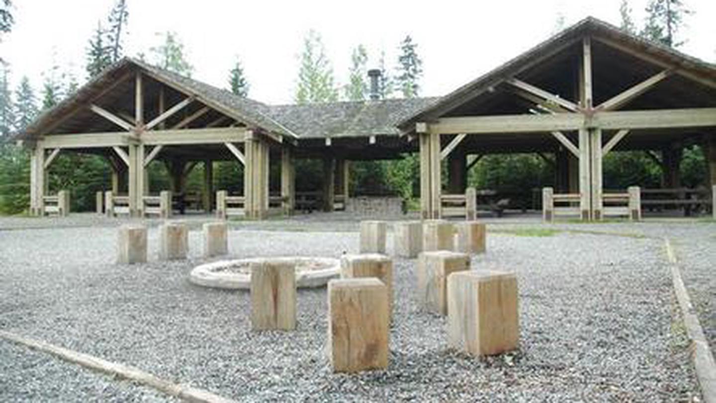
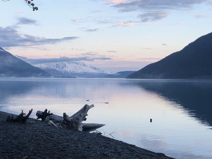
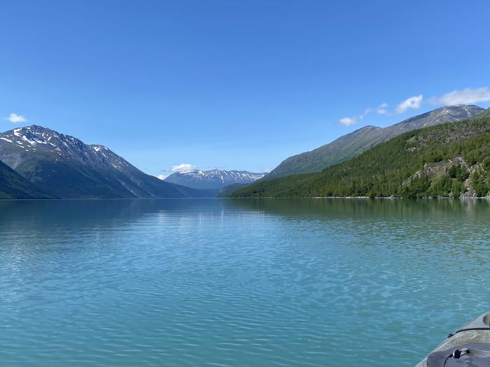
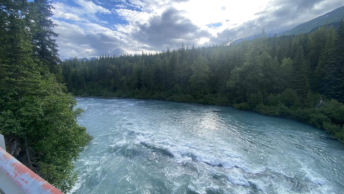
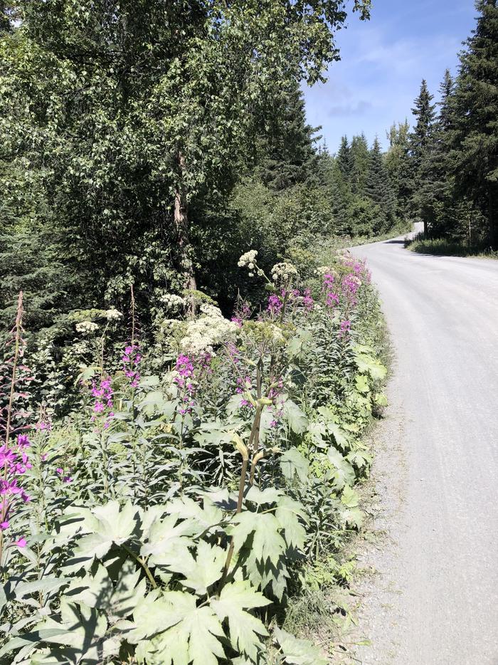
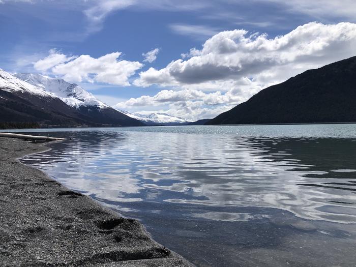
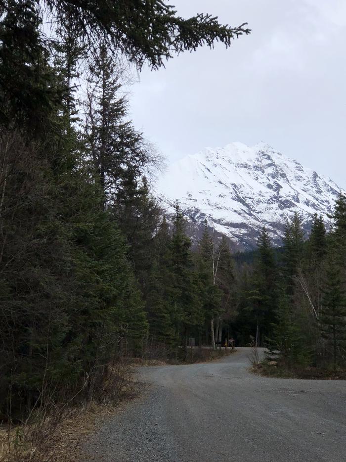
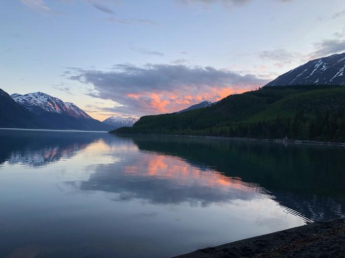
Overview Trail River Campground, set between the Trail River and Kenai Lake, provides lake, river and snow-capped mountain scenery among the hemlock and spruce forests of the Chugach National Forest. It lies within driving distance of two main tourism destinations; 24 miles north of Seward and 40 miles east of Cooper Landing, AK. Miles of hiking and biking trails weave throughout the area. Moose, brown and black bear, sheep and goats can be found across a large parts of the forest. Kenai Lake marks the headwaters of the Kenai River. The campground is situated on the Eastern Kenai Peninsula at elevation 450 feet. Recreation The Day Use Site at Trail River Campground provides beach access to Kenai Lake. Many people enjoy fishing, collecting driftwood, skipping rocks and walking along the beach. The view of the mountains surrounding Kenai Lake is gorgeous. Snow is present in the high peaks and avalanche chutes until the end of August. Trout fishing can be very productive from the beach at Trail River Campground as well as at many nearby streams. The lake is home to Dolly Varden, rainbow trout and lake trout. Although trout fishing is open year-round in Kenai Lake, special restrictions apply within 1/4 mile of inlet streams. Kenai Lake is not open to salmon fishing. Anglers are required to have a State of Alaska Fishing license and obey all regulations. Within a one-mile radius of the campground entrance, are five trails: Falls Creek Trail, Crown Point Mine Road, Ptarmigan Creek Trail and Vagt Lake Trail. All of these trails run roughly east-west and provide access to the Iditarod National Historic Trail (INHT) which runs north-south. The INHT is an ongoing project to build a '"southern trek" connecting Seward (Mile 0 of the Iditarod Trail) to Eagle River (north of Anchorage). Currently, sections of this trail are still under construction, and several bridges are missing. However, links between Falls Creek Trail and Ptarmigan Lake Trail as well as between Vagt Lake Trail and Crown Point Mine Road make loop hikes possible. The Falls Creek OHV Trail is a half mile north of the entrance road. This steep trail provides good views of Kenai and Lower Trail Lakes and is deal for hikers and experienced OHV enthusiasts. A second option for motorized recreation is the Crown Point Mine Road. This trail is located one mile north of the campground entrance road at the end of Mine Road. This historic mining road leads above tree-line and provides great views. South of the entrance road is the Ptarmigan Creek Campground. This campground is also the location of Ptarmigan Creek Trail as well as a day use area with a fish-viewing platform where you can view spawning salmon in the late summer and fall. Ptarmigan Creek trail steadily gains elevation as it follows Ptarmigan Creek to Ptarmigan Lake. A round trip to the lake and back is seven miles. In the winter, the campground is closed and the campground's entrance road and loops are groomed for freestyle and Nordic skiing. Facilities The campground is divided into three loops. Spruce Tree loop has ample shade and stellar views of the mountains. Eagle Point Loop overlooks Kenai Lake and the River Terrace Loop is nearest to the river. The group campsite, which accommodates 70 guests, is part of Trail River Loop. The picnic shelter at the group site is a great place for large gatherings such as wedding receptions, retirement parties or birthdays. It has a beautiful, timber frame pavilion with a large central grill and covered picnic tables. The adjacent volleyball court, horseshoe pit and playground make it fun for all ages. There is also a large fire ring with seating, and plenty of parking. Amenities include vault toilets, trash collection and drinking water. The Day Use Area (mentioned above) includes lake shore access, picnic tables and vault toilets. Natural Features The Chugach National Forest covers the eastern half of the Kenai Peninsula and extends around Prince William Sound. It covers over 5 million acres and is characterized by jagged mountains, deep fjords, glacier-fed rivers, and dense forests. This rich natural area supports many miles of productive fishing streams as well as wildlife populations. Nearby Attractions Trail River Campground is located close to many tourist destinations. Within the Seward Ranger District, many world-class trailheads and day use areas await discovery. The newly-remodeled Seward Ranger District Information Office, is one mile south on Ranger Station Spur. There, friendly forest service employees can help you gather information, interpret the local ecology, purchase area maps, and offer advice about the Chugach National Forest. From this campground, possible day trips include wildlife viewing in Kenai Fjords National Park, rafting down the Kenai River, and a visit to Portage Glacier. Portage Glacier, is located in Portage Valley, a 14-mile isthmus that connects the Kenai Peninsula to mainland Alaska. Glacial remnants that can be seen today are Explorer, Middle, Byron, Burns and Shakespeare glaciers. Portage Valley is also home to the Begich Boggs Visitor Center, a world-class visitor center with a full-time interpretive staff and exhibits ready to inspire and explain the natural area. Contact Info For local information, please call (907) 522-8368 or call (907) 288-3178 for general information.
From the managing agency.
Is TRAIL RIVER free?
We do not have a fee on record for TRAIL RIVER. Confirm the cost locally before you go.
How do I get to TRAIL RIVER?
TRAIL RIVER is at 60.4161, -149.3814. We do not hold written directions for this one, so navigate to the coordinates.
Nearby
- Trail River Cg, Gs0.0 mi
- Trail River Cabin0.2 mi
- PTARMIGAN CREEK0.9 mi
- Ptarmigan Creek Cg, Th, Pa0.9 mi
- Meadow Creek Cg2.2 mi
- CRESCENT SADDLE CABIN4.7 mi
- Ship Creek Cg4.9 mi
- Primrose Cg, Th, Bl, Is5.2 mi
No other services within 50 mi on the record.
SourceSource data is agency published. Last synced September 19, 2026. Community reports and photos are submitted by travelers and are not verified by the agency.
