
SIGNAL CREEK CAMPGROUND
USFS · Campground · Fee
Fast facts
- Cost
- Fee charged
- Managed by
- USFS
- Type
- Campground
- Reservations
- recreation.gov
- Phone
- 907-225-2148
- Coordinates
- 55.4082, -131.6998
- Last verified
- September 19, 2026
About this place
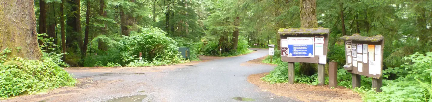
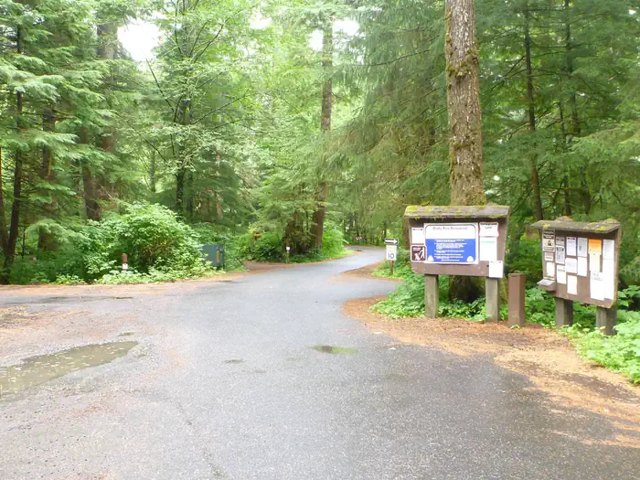
Overview Signal Creek Campground is a year-round facility located in the Ward Lake Recreation Area, 7 miles north of downtown Ketchikan and about 4 miles north of the State ferry terminal. The campground straddles Signal Creek and lies on the banks of Ward Lake, with easy access to fishing, hiking and wildlife viewing. Recreation Hiking is a popular option, as the Ward Lake Recreation Area boasts seven trails. The Ward Lake Nature Travel meanders 1.3 miles around the lake. A large day-use complex with picnic sites and shelters is also available. Freshwater fishing, canoeing, kayaking, wildlife viewing and scenery are favorite draws at Ward Lake. Facilities Signal Creek Campground's sites can accommodate up to 10 people. Each campsite contains a picnic table, a campfire ring with grill and a gravel parking spur. Two hand pumps for drinking water and three vault toilets are provided. Water is provided during the peak season only. Firewood may be provided but is not guaranteed. Natural Features The campground is surrounded by an old-growth temperate rainforest comprised primarily of western hemlock and Sitka spruce. Signal Creek flows through the campground, and Ward Lake is adjacent. At nearly 17 million acres, the Tongass National Forest covers most of Southeast Alaska and is the largest forest in the national forest system. The Tongass surrounds the Inside Passage, the network of waterways that buffers the jagged Alaskan Coast and a cluster of coastline islands. The Tongass offers visitors a chance to view wildlife, including eagles, bears and spawning salmon. Expansive vistas, including fjords, glaciers and mountain peaks abound.
From the USFS.Official page
Is SIGNAL CREEK CAMPGROUND free?
No. SIGNAL CREEK CAMPGROUND charges a fee. It is managed by the USFS. Sites are reservable through recreation.gov.
How do I get to SIGNAL CREEK CAMPGROUND?
Follow the North Tongass Highway north from Ketchikan to the Revilla Road Junction. Turn right and follow the road about 1 mile to the Ward Lake Junction and take a right onto Ward Lake Road. Follow this road to the Signal Creek campground.
Nearby
- S'igeidí Aas Hídi Cabin0.0 mi
- Three C's Group Use Campground0.3 mi
- LAST CHANCE CAMPGROUND1.8 mi
- SOUTHEAST HECKMAN CABIN13.4 mi
- HECKMAN LAKE CABIN13.7 mi
- JORDAN LAKE CABIN14.2 mi
- PHOCENA BAY CABIN16.6 mi
- PATCHING LAKE CABIN16.8 mi
No other services within 50 mi on the record.
SourceData from the USFS. Last synced September 19, 2026. Community reports and photos are submitted by travelers and are not verified by the agency.
