
MALLARD SLOUGH CABIN
USFS · Campground · Fee
Fast facts
- Cost
- Fee charged
- Managed by
- USFS
- Type
- Campground
- Reservations
- recreation.gov
- Phone
- 907-874-2323
- Coordinates
- 56.7103, -132.5417
- Last verified
- September 19, 2026
About this place
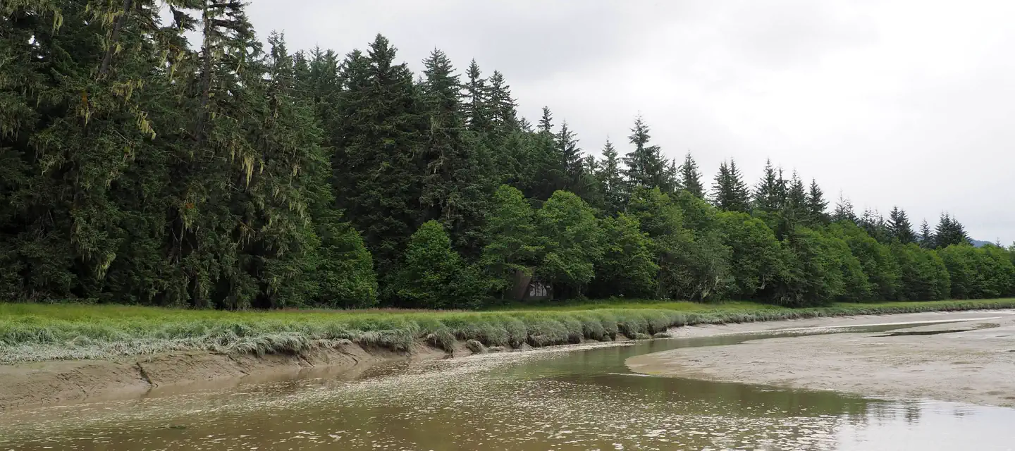
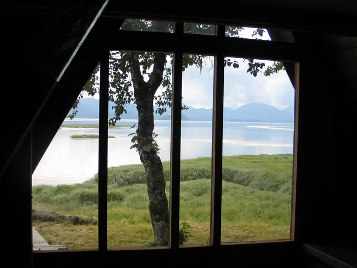
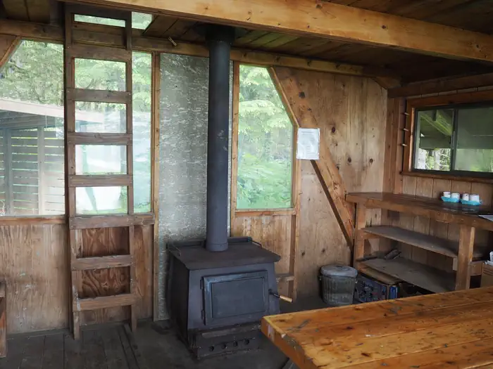
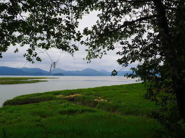
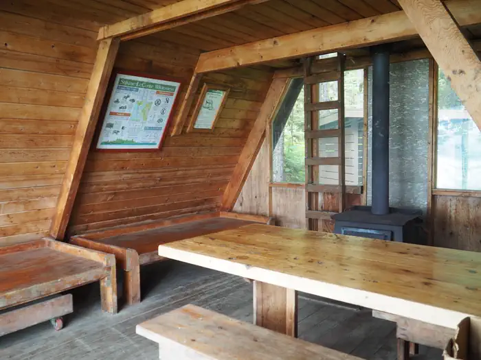
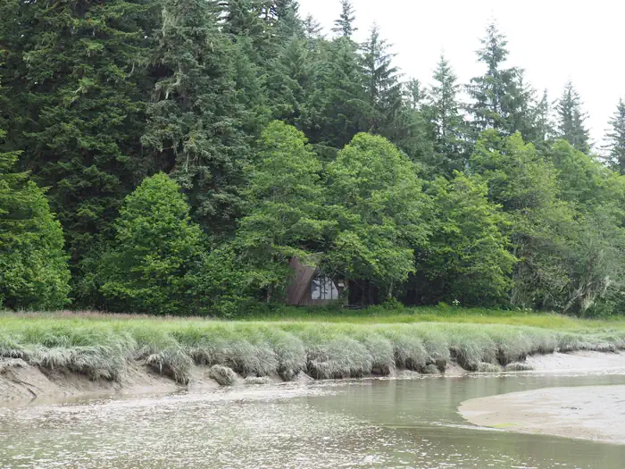
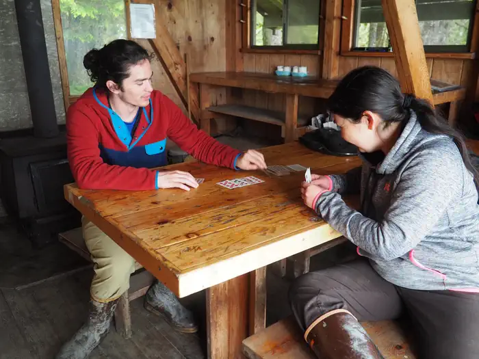
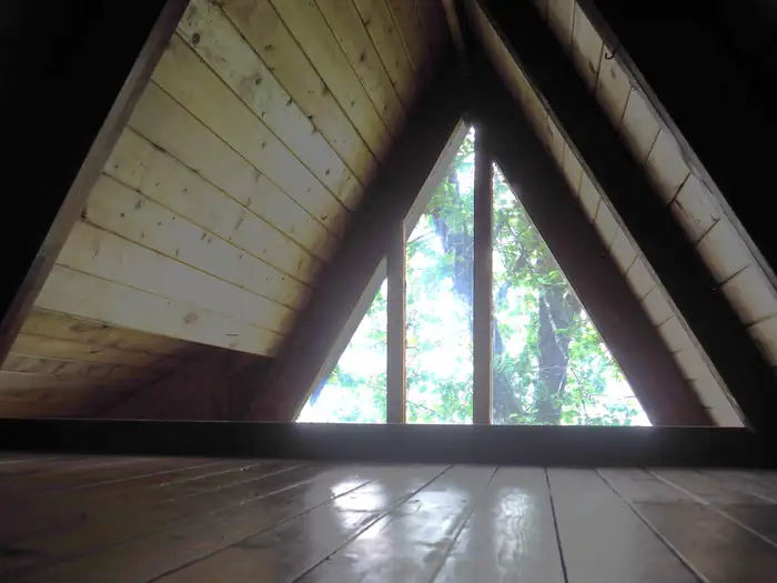
Overview Mallard Slough Cabin provides an excellent basecamp for exploration of the Stikine River Delta and Stikine-LeConte Wilderness. The surrounding area offers opportunities for hiking, paddling, hunting and birdwatching. The cabin is located between LeConte Bay and the North Arm of the Stikine River, 22 miles from Wrangell and 20 miles from Petersburg, Alaska. The site can be accessed by float plane or shallow draft boat, depending on conditions. Access to the cabin requires at least a 14-foot tide for boats and 16 feet for float planes. Guests are responsible for their own travel arrangements and safety, and must bring several of their own amenities. Recreation The Mallard Slough Trail is a 2.7 mile trail fron the cabin to LeConte Bay. The first 0.4 miles of the trail is maintained to the grassflats of Cheliped Bay. Once on the grassflats, the trail is marshy and marked solely by occasional posts. The area around the cabin is also ideal for exploring by kayak or canoe during high tide. The Forest Service does not provide boats, and guests must also bring their own flotation devices. Tide tables should be consulted before any boating excursion. This cabin is also in a prime location for waterfowl hunting in the fall. Facilities This 16-by-16 cabin ( modified A-frame style ) was built in 1980 and has two single bunks (one with a trundle bed) and a second-floor loft, to sleep up to seven people. It is also equipped with a table with benches, a wood stove, and broom. An outhouse is also outside the cabin. A wooden cooler box for food storage is attached to the cabin. Water and electricity are not provided. Water may be available from a rain catchment barrel, but guests should be sure to treat water before drinking or cooking with it ( water safety tips ). It is recommended that guests bring their own water supply. In addition to bringing a cook stove, guests should provide their own firewood, sleeping bags, sleeping pads, lanterns or flashlights, cookware, plates, utensils, food, toilet paper, garbage bags, a fire extinguisher and matches, among other necessities. Guests are expected to pack out trash and clean the cabin before leaving. Click here for more cabin details and maps. Natural Features The cabin sits on relatively flat land with grass and shrubs growing on the tide flats. It is situated between the tide flats and a forest of spruce and hemlock. Behind the cabin are low-to-moderate forested hills. Wildflowers are prominent in May and June. LeConte Glacier is within boating distance of the cabin at high tide. There are icebergs in LeConte Bay and in Fredrick Sound, along the Horn Cliffs. Brown and black bears, bald eagles, owls, hawks and moose inhabit the area ( bear safety information ). The Stikine River tidal flats are a major stopover spot for shorebirds and waterfowl during spring and fall migrations. Nearby Cheliped Bay is one of the best areas for watching the spring shorebird migration on the Wrangell Ranger District.
From the USFS.Official page
Is MALLARD SLOUGH CABIN free?
No. MALLARD SLOUGH CABIN charges a fee. It is managed by the USFS. Sites are reservable through recreation.gov.
How do I get to MALLARD SLOUGH CABIN?
Mainland, 22 miles N of Wrangell on the Stikine River delta between LeConte Bay and North Arm of Stikine River
Nearby
- LITTLE DRY ISLAND CABIN6.4 mi
- GUT ISLAND 2 CABIN7.0 mi
- GUT ISLAND 1 CABIN7.1 mi
- SERGIEF ISLAND CABIN9.1 mi
- KOKNUK CABIN9.3 mi
- TWIN LAKES CABIN (AK)10.5 mi
- GARNET LEDGE CABIN11.3 mi
- Ohmer Creek Campground11.9 mi
No other services within 50 mi on the record.
SourceData from the USFS. Last synced September 19, 2026. Community reports and photos are submitted by travelers and are not verified by the agency.
